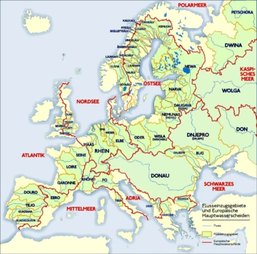
Northern Dvina
Major Arctic-bound river of northwestern Russia.

Alexxx1979 · CC BY-SA 4.0
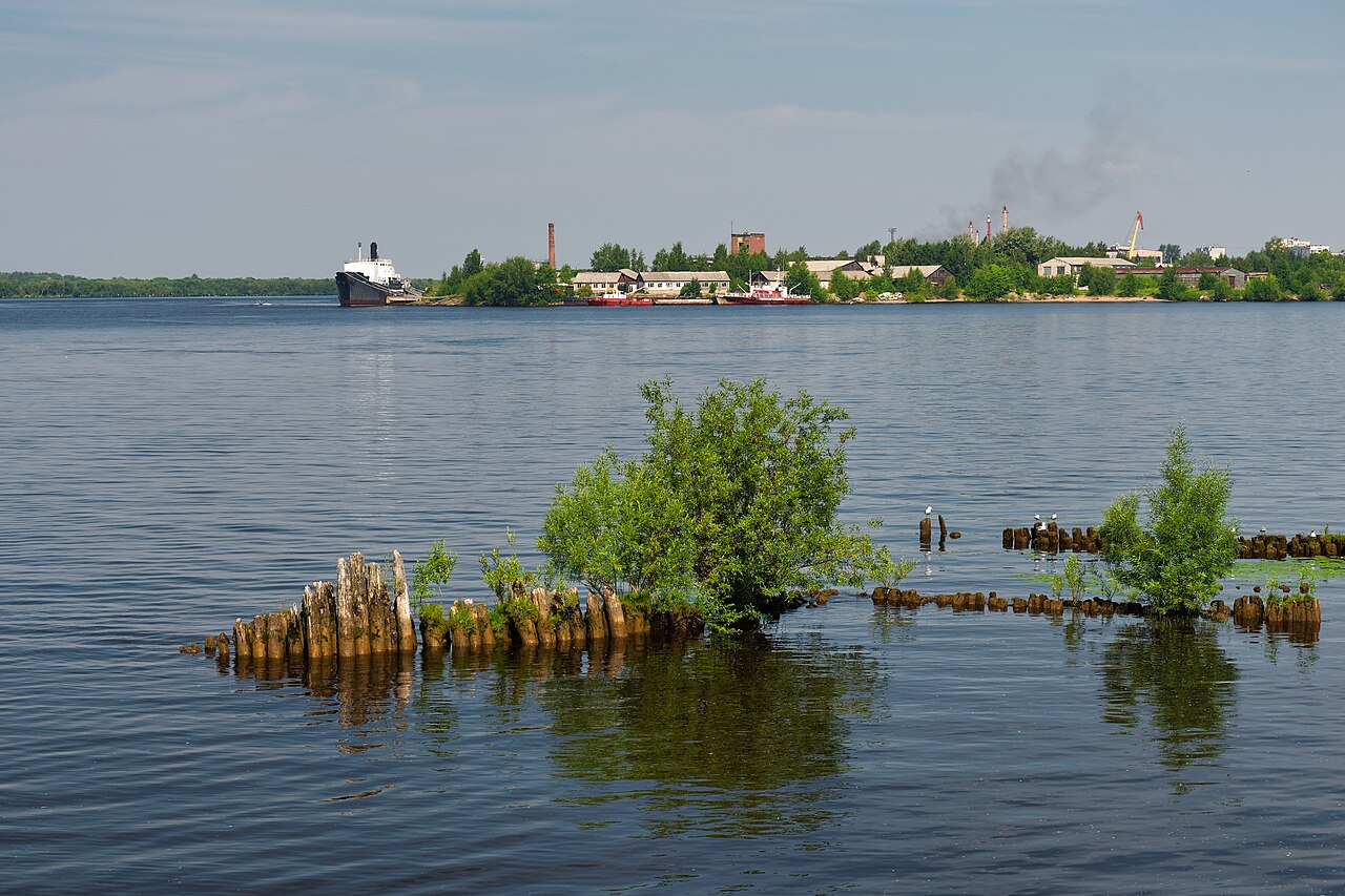
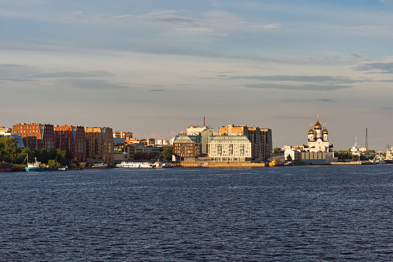
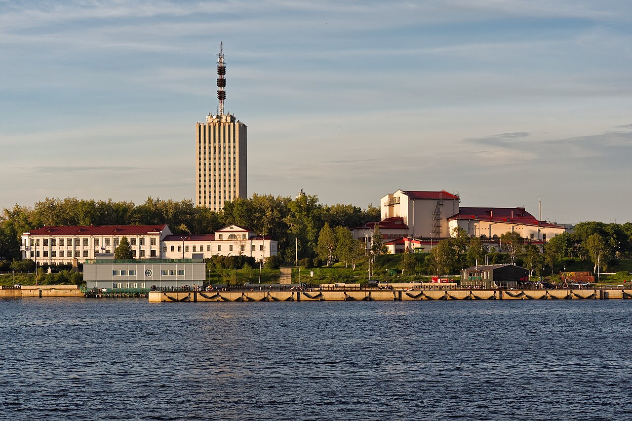
The Northern Dvina is a river in northern Russia, flowing through Vologda Oblast and Arkhangelsk Oblast into the Dvina Bay of the White Sea. Along with the Pechora River to the east, it drains most of Northwest Russia into the Arctic Ocean. It should not be confused with the Western Dvina (Daugava), to which it is not connected.
- length
- 744 km (462 mi)
- length_with_Sukhona
- 1,302 km (809 mi)
- basin_area
- 357,052 km² (137,859 mi²)
- major_tributaries
- Vychegda (right), Vaga (left), Pinega (right)
- outflow
- Dvina Bay, White Sea
- cities_on_river
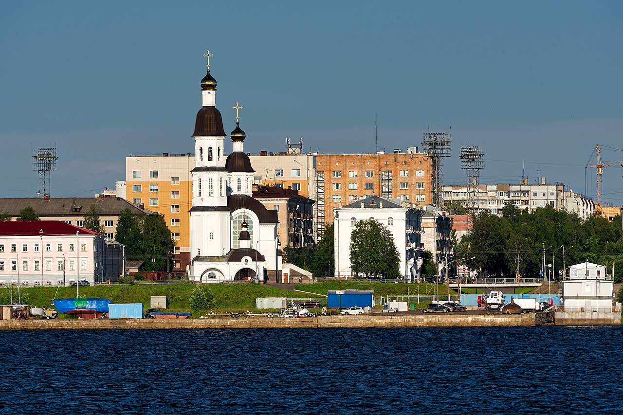
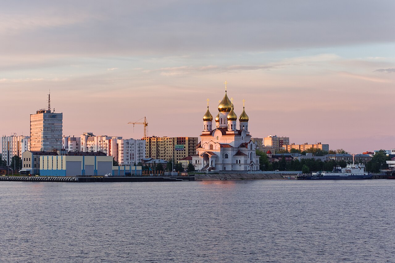
- Arkhangelsk, Kotlas, Veliky Ustyug, Kholmogory
Verified Timeline
Lore & Background
The Northern Dvina originates at the confluence of the Sukhona and Yug rivers near Veliky Ustyug. It flows north about 60 km, receives the Vychegda at Kotlas, then turns northwest to the White Sea. The river basin is roughly T-shaped, with the east-flowing Sukhona joining the west-flowing Vychegda. The Sukhona-Vychegda was an important east–west transportation route, while the Northern Dvina-Yug was a north–south route. Historically, the area was populated by Finnic peoples and colonized by the Novgorod Republic, except Veliky Ustyug which was part of Vladimir-Suzdal Principality. From the 14th century, Kholmogory was the main trading harbor, but lost this to Arkhangelsk in the 17th century. Until the 1700s, Arkhangelsk was the main trading harbor for sea trade between Russia and western Europe, with the Northern Dvina as the main trading route to central Russia. The river was scene of several battles during the Russian Civil War, involving the Entente interventionist army as part of their North Russia Campaign. A special Northern Dvina Flotilla existed during the Civil War.
Reader's Guide
The Northern Dvina was historically the primary water route connecting central Russia to the White Sea and European trade, especially before Saint Petersburg's founding in 1703. Its basin contains historically significant towns such as Veliky Ustyug, Totma, Solvychegodsk, and Kholmogory. The river's role declined with the construction of the highway between Saint Petersburg and Arkhangelsk via Kargopol, and later the railway between Vologda and Arkhangelsk (1894–1897). Today, the entire length is navigable in summer and used for timber rafting, but heavy commercial passenger navigation has largely disappeared. The Northern Dvina Canal connects it to the Volga–Baltic Waterway. The river's delta, beginning downstream from Novodvinsk, contains the port of Arkhangelsk and the naval base of Severodvinsk. The etymology of 'Dvina' is unclear; it may be an Indo-European word meaning 'river' or 'stream', and in Komi it is called Výnva ('powerful river').
Did You Know?
- The Northern Dvina is 744 km long, but together with its major tributary the Sukhona it reaches 1,302 km — about as long as the Rhine.
- The river's name may come from an Indo-European word meaning 'river' or 'stream'; in Komi it is called Výnva, meaning 'powerful river'.
- Until the 1700s, Arkhangelsk was the main trading harbor for Russia's sea trade with western Europe, and the Northern Dvina was the main trading route connecting central Russia to it.
- A short-lived Northern Ekaterininsky Canal, built in the 19th century, once connected the Northern Dvina basin with the Kama basin, but is now abandoned.
- The passenger line connecting Kotlas and Arkhangelsk has been out of operation since 2005.
The T-Shaped Heart of Northwest Russia
The Northern Dvina's basin is strikingly T-shaped, a geometry that shaped centuries of trade and settlement. The 558-kilometre Sukhona flows eastward while the 1,130-kilometre Vychegda pours westward from the northern Urals, and their confluence at Kotlas births a river that then swings northwest toward the White Sea. Counting the Sukhona and Vychegda together, the system reaches 1,302 kilometres—roughly the length of the Rhine. The basin spans 357,052 square kilometres, encompassing most of Vologda and Arkhangelsk Oblasts, portions of the Komi Republic and Kirov Oblast, and small stretches of Yaroslavl and Kostroma. Arkhangelsk, Vologda, Veliky Ustyug, Solvychegodsk, and Kholmogory all nestle within its reach. The P157 highway tracks the left bank north of Veliky Ustyug, and the M8 from Moscow enters the region near the Vaga's confluence at Bereznik. Together with the Pechora to the east, the Dvina drains most of Northwest Russia into the Arctic Ocean.
From Novgorod Traders to Modern Ports
Long before Russian statehood, Finnic communities inhabited the Northern Dvina's shores. The Novgorod Republic then claimed the basin, and by the 13th century its merchants had already reached the White Sea, drawn largely by the fur trade. Veliky Ustyug, first recorded in chronicles in 1207, was the notable exception, falling under the Vladimir-Suzdal Principality rather than Novgorod. The old waterway from Novgorod was a grueling chain: down the Volga and its tributary the Sheksna, along the Slavyanka to Lake Nikolskoye, a land portage to Lake Blagoveshchenskoye, down the Porozovitsa to Lake Kubenskoye, and finally onto the Sukhona. Kholmogory, nestled among the branching channels near the Pinega's mouth 75 kilometres southeast of Arkhangelsk, served as the region's chief city for centuries before the delta's Arkhangelsk gradually superseded it. Shenkursk appeared in records in 1229, and Solvychegodsk was founded in the 14th century, each a node in this expanding network of settlement.
Canals, Timber, and the Ebb of Commerce
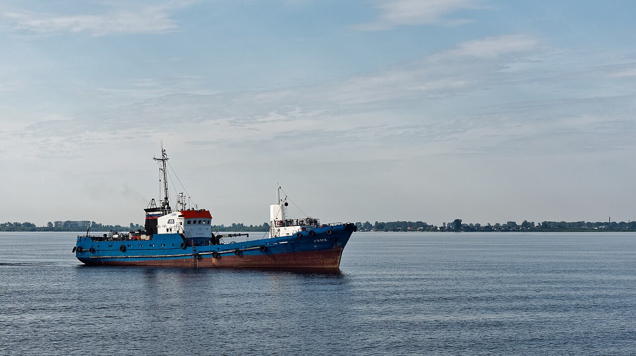
In summer, the full length of the Northern Dvina opens to navigation, and timber rafting remains a heavy industry on its waters. The river's strategic position has drawn repeated canal-building efforts across the centuries. The Northern Dvina Canal links the upper Sukhona to the Volga-Baltic Waterway, connecting Petersburg and Moscow to the White Sea. In the 19th century, the short-lived Northern Ekaterininsky Canal briefly joined the Dvina basin to the Kama basin, though it has since been abandoned. A canal connecting the Pinega to the Kuloy, built between 1926 and 1928, now sits largely neglected. Passenger navigation has faded dramatically; the once-busy Kotlas-to-Arkhangelsk line ceased operations in 2005, leaving only scattered local services. The river's commercial golden age, when it served as the region's principal artery and every district administrative centre grew along its banks, has given way to a quieter, more seasonal rhythm of use.
A Name in Search of Origins
The Northern Dvina's name carries a layered linguistic mystery. According to Max Vasmer's Etymological Dictionary, the toponym was borrowed from the Western Dvina, known in Latvian as the Daugava—a river to which the Northern Dvina has no hydrological connection whatsoever. The word Dvina does not derive from any Uralic language, and its true root remains uncertain. One theory proposes it is an Indo-European term that once meant simply river or stream. In the Komi language, the river is called Výnva, built from vyn meaning power and va meaning water or river, yielding the evocative phrase powerful river. This Komi rendering captures something the uncertain etymology cannot: the sheer physical presence of a waterway that gathers the Vychegda, Vaga, and Pinega, then fans out into a 900-square-kilometre delta before meeting the Dvina Bay of the White Sea.
Gallery
Frequently Asked Questions
What is the Northern Dvina?
The Northern Dvina is a major river in northwestern Russia that carries water through Vologda and Arkhangelsk Oblasts before emptying into the White Sea. It serves as one of the principal Arctic-bound waterways for the region.
How long is the Northern Dvina?
The river stretches about 744 km on its own, but when you include its longest tributary, the Sukhona, the total watercourse reaches roughly 1,302 km. Its drainage basin covers approximately 357,000 square kilometers.
Where does the Northern Dvina flow into?
The river terminates in the Dvina Bay, an arm of the White Sea on the Arctic coast. Together with the Pechora to the east, it channels most of Northwest Russia's runoff toward the Arctic Ocean.
Which cities sit along the Northern Dvina?
Notable settlements along its course include Arkhangelsk at the mouth, Kotlas, Veliky Ustyug, and the historic town of Kholmogory. These towns have long depended on the river for trade and transport.
Is the Northern Dvina the same as the Western Dvina (Daugava)?
No, the two rivers are entirely separate waterways with no hydrological connection. The Northern Dvina drains into the White Sea in Russia, while the Western Dvina flows through the Baltic states into the Gulf of Riga.
More in Rivers Of Europe 1-19
Spotted an error? Know more?
This is a living reference — every entry is fact-audited, and reader corrections feed straight into our audit queue. Suggest an edit · See this site's audit record