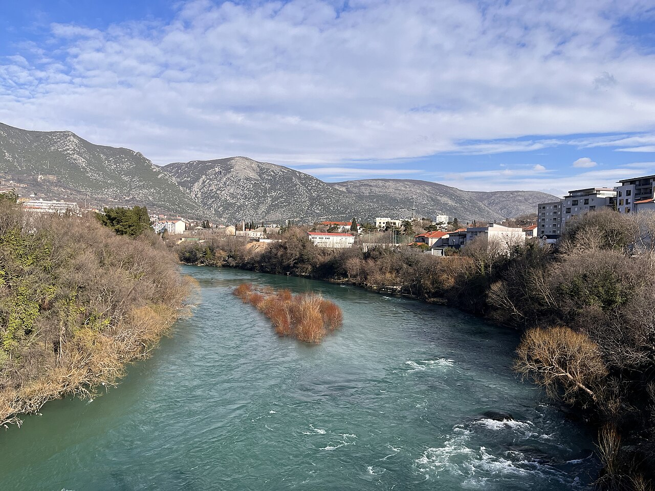
Neretva
Major karst river of the eastern Adriatic basin.

Niegodzisie · CC BY-SA 4.0
The Neretva (pronounced [něreːtʋa]), also known as Narenta, is one of the largest rivers of the eastern part of the Adriatic basin. It flows through Bosnia and Herzegovina and Croatia before reaching the Adriatic Sea, and is the largest karst river in the Dinaric Alps. The river is recognized for its natural environment, diverse landscapes, and as a significant source of drinking water.
- length_in_Croatia
- 22 kilometres (14 miles)
- source_elevation
- 1,227 meters above sea level
- largest_town_on_river
- Mostar, Bosnia and Herzegovina
Lore & Background
The Neretva rises from five small wellsprings at the base of the Zelengora and Lebršnik mountains, under the Gredelj saddle. Its upper course, known as the Upper Neretva, cuts two deep canyons and two fertile valleys before reaching the town of Konjic. Below Konjic, the river expands into a wide valley that was flooded by the artificial Jablaničko Lake, created after construction of the Jablanica Dam. The river then takes a 180-degree turn near the confluence with the Rama, flows past Jablanica, and enters its largest canyon, with walls reaching 800–1,200 metres in depth. Three hydroelectric dams operate between Jablanica and Mostar. The final 30 kilometres form a wide alluvial delta before the river empties into the Adriatic Sea.
Reader's Guide
The Neretva is notable among rivers of the Dinaric Alps region for its diverse ecosystems, habitats, flora and fauna, and cultural and historic heritage. Four hydroelectric power plants with large dams provide flood protection, electricity, and water storage. The river's freshwater ecosystems have suffered from increasing population and development pressures. The Neretva basin contains the most significant source of drinking water in Bosnia and Herzegovina and Croatia. Its name may derive from the Indo-European root *ner, meaning 'to dive', also seen in the Bosnian root 'roniti'. The river is divided into three sections: the Upper Neretva, the Middle Neretva (characterized by steep canyons and karst geology), and the Lower Neretva with its delta. Major tributaries include the Rakitnica, Rama, and Trebižat. The largest town on the river is Mostar.
Did You Know?
- The Neretva is the largest karst river in the Dinaric Alps.
- Its name may come from the Indo-European root *ner, meaning 'to dive'.
- The river has four hydroelectric power plants with dams higher than 15 metres.
- The Upper Neretva has water of Class I purity.
Geography & Hydrology
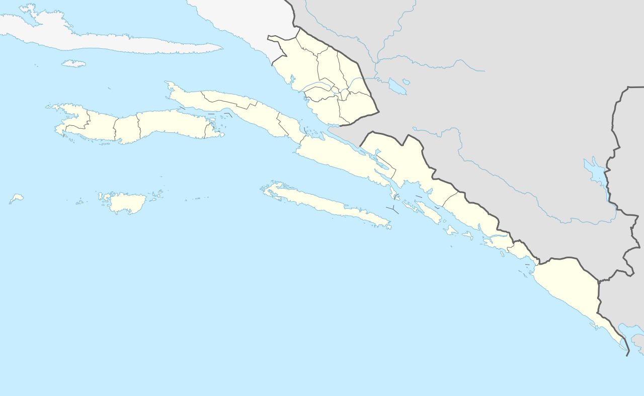
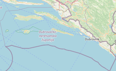
The Neretva, also known by the name Narenta, stretches 225 kilometres from its headwaters in the Dinaric Alps to the Adriatic Sea. Of that total length, 208 kilometres run through Bosnia and Herzegovina while the final 22 kilometres traverse Croatia's Dubrovnik-Neretva County. The river's watershed covers 11,798 square kilometres, establishing it as the largest karst river in the Dinaric Alps within the eastern Adriatic basin. Average discharge measures 233 cubic metres per second at the Žitomislići monitoring profile in Bosnia, increasing to 341 cubic metres per second where the river meets the sea in Croatia. One of the most remarkable hydrological features is the Trebišnjica River, whose additional 402 cubic metres per second of flow feeds into the Neretva system through porous karst terrain that physically connects the two basins. Regular hydrological monitoring takes place at Metković in Croatia, and the river's course is shaped by the unique geology of the Dinaric karst landscape.
The Three Sections & Their Landscapes
The Neretva's journey is divided into three distinct hydrological sections. The Upper Neretva begins at 1,227 metres above sea level beneath the Gredelj saddle, where five small wellsprings emerge at the base of the Zelengora and Lebršnik mountains. Over 90 kilometres, this section carves two deep narrow canyons and two wide fertile valleys around Ulog, Župa Komska, and Glavatičevo before reaching Konjic. The Middle section begins where the Rama joins the Neretva, and the river makes a dramatic 180-degree turn toward the east-southeast. From Jablanica, it plunges into the deepest canyon of its course, cutting through the steep slopes of Prenj, Čvrsnica, and Čabulja to depths of 800 to 1,200 metres. The final section opens into a wide alluvial delta over its last 30 kilometres before meeting the Adriatic, an area locals affectionately call "Bosnian and Herzegovinian California."
Hydroelectric Infrastructure & Water Resources
Four hydroelectric power plants with dams exceeding 15 metres in height line the Neretva, serving the dual purposes of flood protection and electricity generation while also storing water. The most visible of these is the Jablanica Dam, whose construction flooded the fertile valley below Konjic to create Jablaničko Lake. Three additional dams operate between Jablanica and Mostar in the middle section. Beyond power generation, the Neretva basin represents the most significant source of drinking water in the region, situated between the Drina to the east, the Una to the west, and the Sava. The upper course holds water of Class I purity, rising from undisturbed rapids and waterfalls. For both Bosnia and Herzegovina and Croatia, the river's abundant wellsprings and clear waters constitute one of the most valuable natural resources in the country. The Trebišnjica's contribution further amplifies the basin's hydrological significance.
Ecological Significance & Cultural Heritage
The Neretva is distinguished among Dinaric Alps rivers by the richness of its ecosystems, habitats, and the diversity of its flora and fauna. The upper course alone supports numerous streams, glacial lakes near the river, and additional lakes scattered across the Treskavica and Zelengora mountains, alongside dense forests and varied wildlife. The river's name itself carries deep linguistic roots, traced to the Indo-European stem *ner meaning "to dive," a connection echoed in the Bosnian verb "roniti." Despite this natural wealth, freshwater ecosystems face mounting pressure from growing populations and development. The Neretva also threads through a remarkable cultural landscape, passing towns and villages including the historical Blagaj, the village of Počitelj, and the major city of Mostar in Bosnia, as well as Metković, Opuzen, and Ploče in Croatia. This blend of ecological and historic value makes the river a defining feature of the region's identity.
Gallery
Frequently Asked Questions
Who is Neretva?
She is one of the largest rivers in the eastern Adriatic basin, threading through Bosnia and Herzegovina and Croatia before meeting the Adriatic Sea. Fans also know her by the alternate name Narenta.
What are Neretva's powers or special role?
She holds the title of the largest karst river in the Dinaric Alps, meaning her entire course is shaped by water dissolving limestone rather than by conventional erosion. She also serves as a critical drinking-water source for the communities along her banks.
Where does Neretva's journey begin?
Her source sits at an elevation of 1,227 metres above sea level in the Dinaric Alps, setting up a long, dramatic descent through karst country all the way down to the Adriatic shoreline.
More in Rivers Of Europe 1-19
Spotted an error? Know more?
This is a living reference — every entry is fact-audited, and reader corrections feed straight into our audit queue. Suggest an edit · See this site's audit record