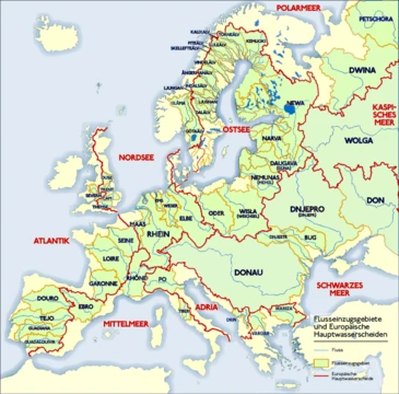
Loire
Longest river in France, flowing through a UNESCO-listed valley.

0x010C · CC BY-SA 4.0
The Loire is the longest river in France and the 171st-longest in the world, with a length of about 1,012 kilometers. It rises in the southeastern Massif Central in the Cévennes range and flows north through Nevers to Orléans, then west through Tours and Nantes to the Bay of Biscay. Its valley, known as the 'Garden of France,' is a UNESCO World Heritage Site noted for its vineyards and châteaux.
- named_departments
- 12 (including Loire, Haute-Loire, Loire-Atlantique, Indre-et-Loire, Maine-et-Loire, and others)
Lore & Background
The Loire rises in the Cévennes range near Mont Gerbier de Jonc at 1,408 meters, originating from multiple springs fed by an aquifer. It flows north through Roanne and Nevers, then west through Orléans, Tours, and Nantes, entering the Atlantic Ocean at Saint-Nazaire. Its main tributaries include the Allier, Cher, Indre, and Vienne on the left bank, and the Nièvre, Maine, Erdre, and Sèvre Nantaise on the right bank.
Reader's Guide
It is studded with over a thousand châteaux, originally feudal strongholds, now major tourist attractions. Unlike many western European rivers, the Loire has very few dams or locks, preserving its natural flow. Its lower course features wetlands and fens important for migratory bird conservation. The river's name derives from the Gaulish word 'liga,' meaning silt or sediment, reflecting its alluvial character.
Did You Know?
- The Loire is the 171st-longest river in the world.
- Its average discharge is only half that of the Rhône.
- The river's name comes from the Gaulish word 'liga,' meaning silt or sediment.
Geography & Physical Course
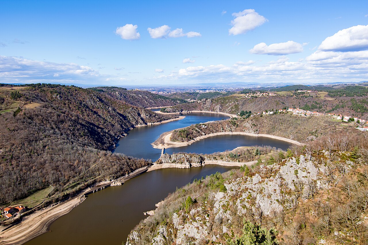
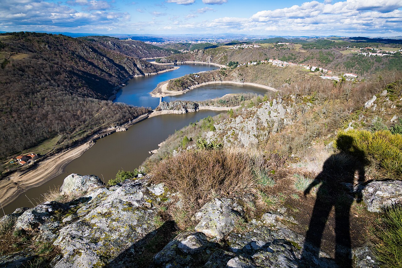
The Loire stands as France's longest river at 1,006 kilometres, ranking 171st globally, yet its average discharge is merely half that of the Rhône despite draining over 117,000 square kilometres—more than a fifth of the nation's territory. Its journey begins as a modest trickle at roughly 1,400 metres above sea level in the Cévennes highlands of Ardèche, where an aquifer beneath Mont Gerbier de Jonc feeds three converging streams. From there the river carves a narrow, gorge-riddled path northward through the upper basin, then broadens into a meandering alluvial plain in its middle section before opening into wetlands and fens in its lower course. Tectonic shifts over millennia redirected the river's ancient outfall from the English Channel to the Atlantic, reshaping the landscape into the gorges, alluvial plains, and coastal beaches we see today. The Loire's path threads through Nevers, Orléans, Tours, and Nantes before emptying into the Bay of Biscay near Saint-Nazaire, with major tributaries like the Allier, Cher, Indre, and Vienne feeding its left bank and the Nièvre, Maine, and Erdre joining from the right.
Deep Human History Along the Valley
Evidence suggests human presence in the Loire valley stretches back to the Middle Palaeolithic era, roughly 90,000 to 40,000 years ago, with anatomically modern humans arriving around 30,000 years later. The Neolithic period, spanning 6,000 to 4,500 BC, saw settled communities take root in the fertile alluvial soils. By the Iron Age (1500–500 BC), Gallic tribes had established the river as a vital commercial artery; as early as 600 BC they employed pack horses to move metals from the Armorican Massif toward Phoenicia and Ancient Greece, routing trade through Lyon on the Rhône. This era of Gallic sovereignty in the valley ended abruptly in 56 BC when Julius Caesar's legions conquered the surrounding provinces for Rome. Centuries later, from the third century AD onward, Christian missionaries—many of whom would later be canonised as saints—began converting the valley's pagan populations. In that same transitional period, settlers planted vineyards and initiated wine production, laying the foundation for the viticultural tradition that would define the region for millennia.
The Garden of France: Châteaux and Cultural Heritage
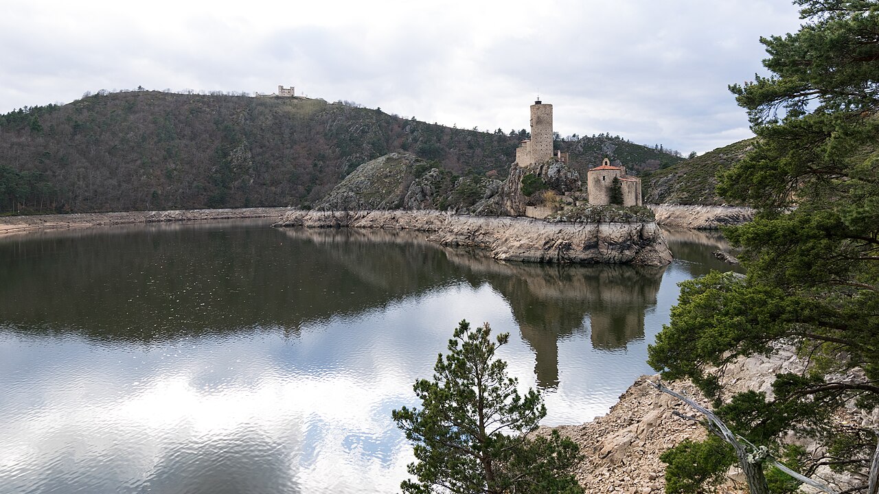
The stretch of the Loire Valley running from Orléans to Nantes, a 300-kilometre corridor straddling the Pays de la Loire and Centre-Val de Loire regions, earned UNESCO World Heritage status on December 2, 2000. This designation recognises a landscape often called the "Garden of France," where more than a thousand châteaux dot the riverbanks, each displaying its own architectural character spanning from early medieval fortifications to the ornate flourishes of the late Renaissance. These structures were originally conceived as feudal strongholds, positioned along the strategic boundary dividing southern and northern France, and over centuries their defensive purposes gave way to residential and aesthetic functions. Today many remain in private hands, while vineyards and historic estates continue to draw visitors as a major tourist attraction. The valley's cultural richness is inseparable from its geography: the broad alluvial plain, the sand banks and islands, and the dikes constructed between the 12th and 19th centuries to manage flooding all shaped the settlement patterns that produced this extraordinary concentration of built heritage.
Etymology: A Name Rooted in Sediment
The name "Loire" traces back through Latin Liger to a native Gaulish (Celtic) word, liga, meaning "silt, sediment, deposit, or alluvium." This linguistic thread is remarkably productive: the Gaulish term gave rise to the French word lie, as heard in the winemaking phrase "sur lie," which in turn produced the English word "lees." Deeper still, liga descends from the Proto-Indo-European root *legʰ-, carrying the sense of "to lie" or "to lay." That same ancient root surfaces in the Welsh word Lleyg and in a cluster of English vocabulary including "lie," "lay," "ledge," and even "law." The river's name also appears in multiple regional languages—Occitan Léger, Arpitan Lêre, Breton Liger—reflecting the linguistic mosaic of the territories it traverses. Its influence on French toponymy is substantial: six departments bear its name, including Loire, Haute-Loire, Loire-Atlantique, Indre-et-Loire, Maine-et-Loire, and Saône-et-Loire, embedding the river's identity into the very administrative map of the country.
Gallery

Frequently Asked Questions
What is the Loire?
The Loire is the longest river entirely within France, measuring roughly 1,012 km from its mountain source to the sea. It also holds the 171st position among the world's longest rivers.
Where does the Loire start and where does it empty?
The river springs in the Cévennes range of the southeastern Massif Central at about 1,408 m above sea level. It then winds north past Nevers and Orléans, turns westward through Tours and Nantes, and finally discharges into the Bay of Biscay.
Why is the Loire valley famous?
The valley, often nicknamed the 'Garden of France,' is a UNESCO World Heritage Site prized for its dense cluster of Renaissance châteaux and historic vineyards. This stretch of landscape is what draws most of the cultural tourism associated with the river.
How many French departments does the Loire pass through?
The watercourse crosses twelve named departments along its course, including Loire, Haute-Loire, Loire-Atlantique, Indre-et-Loire, and Maine-et-Loire.
What makes the Loire unique compared to other major French rivers?
At over 1,000 km it is France's longest river, and its south-to-west trajectory sets it apart from the north-flowing Seine or the south-flowing Rhône. It is also the only major French river whose entire valley earned UNESCO recognition.
More in Rivers Of Europe 1-19
Spotted an error? Know more?
This is a living reference — every entry is fact-audited, and reader corrections feed straight into our audit queue. Suggest an edit · See this site's audit record