Neman
Major Eastern European river flowing through Belarus, Lithuania, and Russia.

Igor Tkachiov · CC BY-SA 4.0
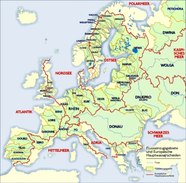
The Neman (also known as Nioman, Nemunas, Niemen, or Memel) is a major Eastern European river that rises in central Belarus and flows through Lithuania, forming the northern border of Kaliningrad Oblast, Russia's western exclave. It drains into the Curonian Lagoon, which is narrowly connected to the Baltic Sea. At 937 km (582 mi) long, it is the fourth longest river in the Baltic Sea basin and the largest river in Lithuania, as well as the third-largest in Belarus. The river is navigable for most of its length and plays a crucial role in the region's ecology, economy, and culture.
- length
- 937 km (582 mi)
- source
- Central Belarus, near Uzda
- mouth
- Curonian Lagoon (Baltic Sea)
- countries
- Belarus, Lithuania, Russia (Kaliningrad Oblast)
- max_depth
- 5 m (16 ft)
- max_width
- 500 m (1,600 ft)
Lore & Background
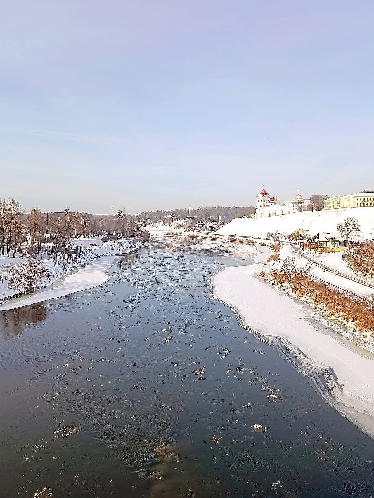
The Neman rises from two small headwaters merging about 15 km southwest of Uzda, roughly 55 km southwest of Minsk. It flows generally west to Grodno, within 12 km of the Polish border, then north to Kaunas, and finally westward again to the sea. Only 17 km of its length contributes to the Belarus–Lithuania border, and it includes notable loops along a minor tectonic fault. Its delta splits into a maze of branches and canals, with four main distributaries: Atmata, Pakalnė, Skirvytė (marking the international border), and Gilija. The delta provides the main water inflow to the Curonian Lagoon, keeping it almost fresh and supporting both fresh and brackish water animals. Culturally, the river is known as 'the father of rivers' in Lithuania. It lent its name to the Neman Culture, a Neolithic archaeological subculture. Ptolemy referred to it as Chronos, though competing theories suggest Chronos was the Pregolya.
Reader's Guide
The Neman is significant as a major waterway in Eastern Europe, shaping the geography, economy, and history of Belarus, Lithuania, and Russia's Kaliningrad Oblast. The river is used for fishing, hydropower generation, water supply, industry, agriculture, recreation, tourism, and water transport. Industrial activities along the river include metal processing, chemical industries, pulp and paper production, and food processing. The river's delta is a key destination for eco-tourism, and its cultural impact is seen in Lithuanian and Polish literature, as well as in the operetta 'Za Neman idu' by Volodymyr Aleksandrov.
Did You Know?
- The Neman is the fourth longest river in the Baltic Sea basin, at 937 km (582 mi).
- Its delta splits into four main distributaries: Atmata, Pakalnė, Skirvytė, and Gilija.
- The river's name may derive from the Finnic word 'niemi' meaning 'cape'.
Geography & Course
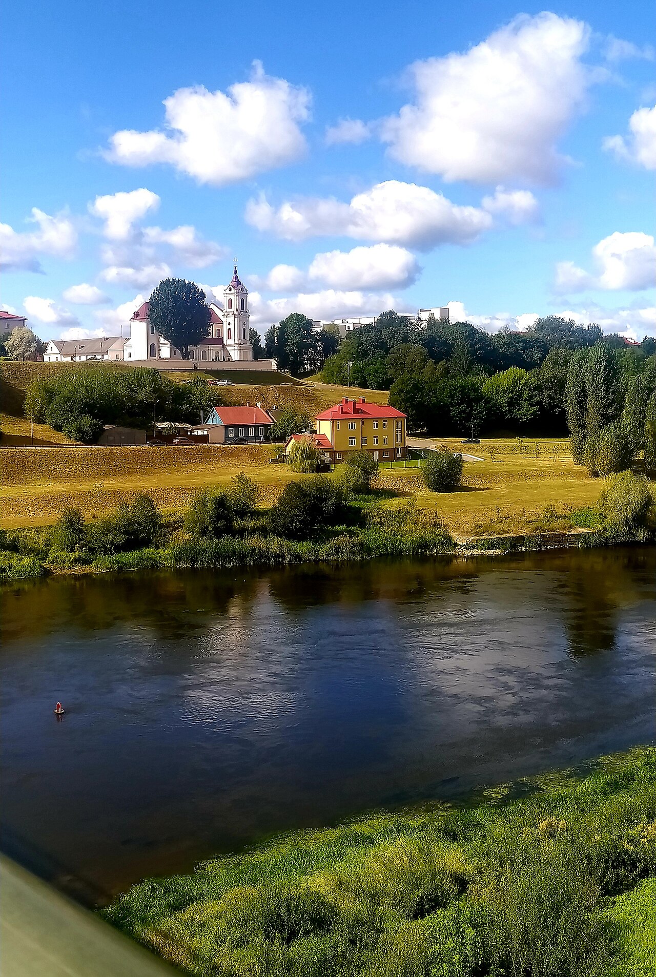
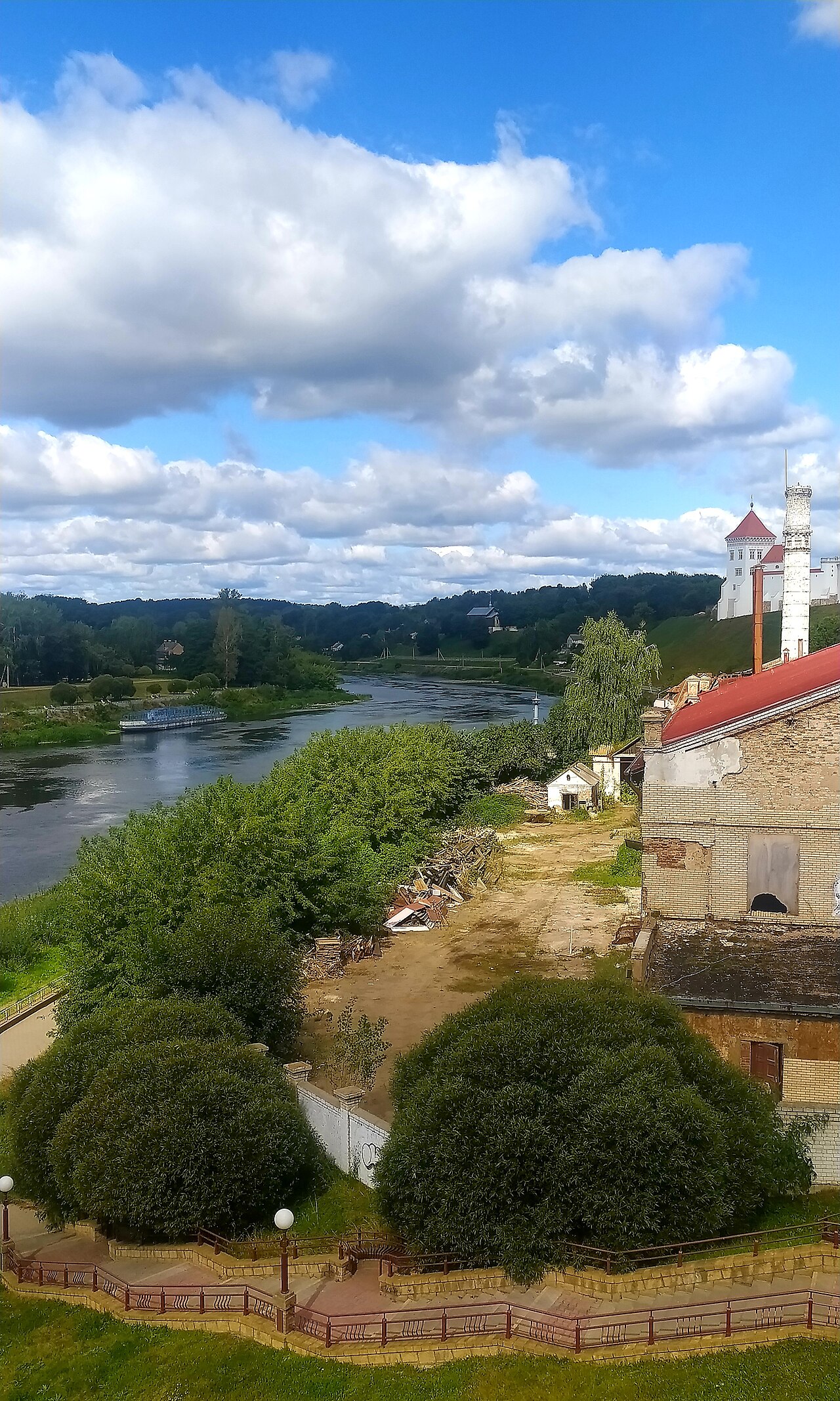
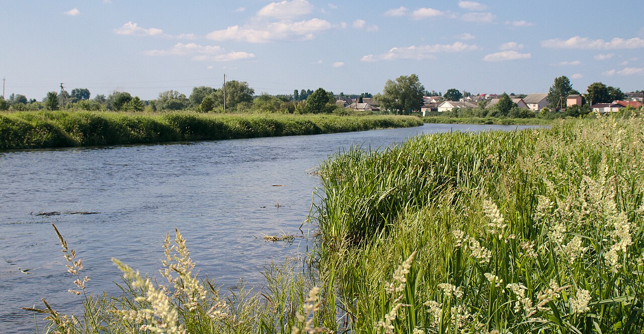
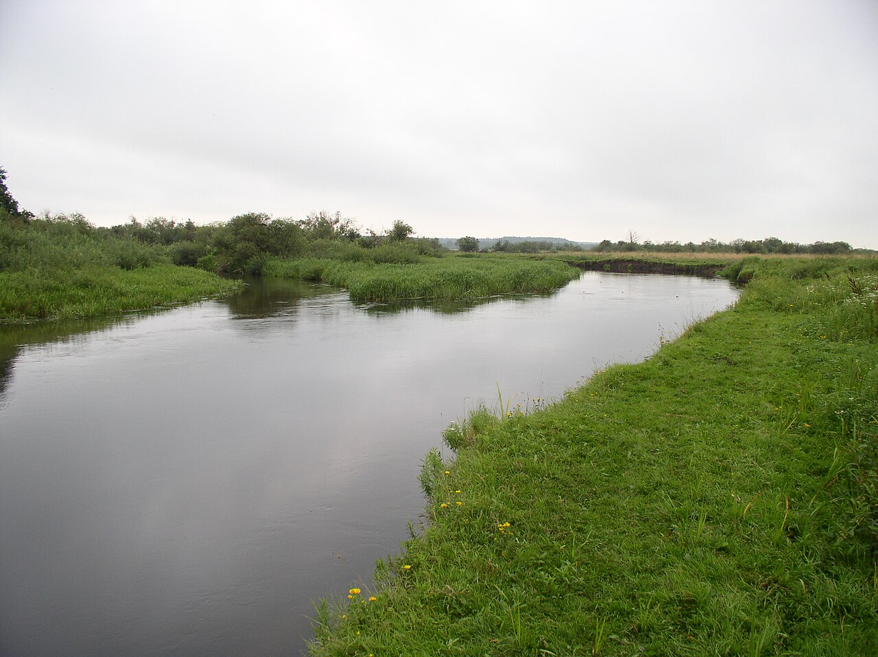
The Neman rises from two modest headwaters that converge roughly 15 kilometers southwest of Uzda, placing its source about 55 km from Minsk. From there, the 937-kilometer waterway carves a distinctive path: first westward toward Grodno (within 12 km of the Polish border), then north to Kaunas, and finally west again toward the sea. It serves as Lithuania's largest river and Belarus's third-largest, with 436 km running through Belarus and 359 km through Lithuania. A 116-km stretch forms the northern boundary of Russia's Kaliningrad Oblast, specifically tracing the river's southern channel. The river is navigable for most of its length, flowing at a gentle 1 to 2 m/s. Depth ranges from just 1 meter in upper reaches to 5 meters in the lower basin, with a maximum width of about 500 meters. The valley itself can reach 60 meters deep and 5 km broad, a testament to its ancient origins dating to the last glacial period.
Hydrology & Basin
The Neman's drainage basin spans 98,200 square kilometers, with 34,610 km² in Belarus and 46,695 km² in Lithuania. In Lithuania alone, the basin encompasses over 20,000 rivers and rivulets, covering 72% of the country's territory. The river commands about 105 first-class tributaries, with the Neris (510 km), Shchara (325 km), and Šešupė (298 km) being the longest, and fifteen tributaries exceeding 100 km. Tributaries extend to the 11th order within the complete basin. Despite its slow current, the Neman is far from docile: during floods, discharge can surge up to 11-fold, exceeding 6,800 cubic meters per second. Severe flooding strikes the lower reaches roughly every 12 to 15 years, occasionally destroying bridges. The river ultimately empties into the Curonian Lagoon, a narrow waterway connected to the Baltic Sea, where it provides the lagoon's primary freshwater inflow.
Historical & Cultural Significance
The Neman has been a stage for some of Europe's most consequential moments. Ptolemy referenced it as Chronos, and it lent its name to the Neman Culture, a Neolithic archaeological subculture. In the medieval period, the Teutonic Knights built Memelburg castle around 1250 and named the settlement at the lagoon's mouth after the river's indigenous name, Memel—today known as Klaipėda. The river's castles formed Lithuania's first defensive line against Teutonic forays. The 1422 Treaty of Lake Melno fixed the border between the Teutonic Order and Lithuania, a line that held for centuries. In 1807, Napoleon and Tsar Alexander I signed the Treaty of Tilsit on a raft on the river itself. Napoleon's 1812 crossing of the Neman, immortalized in War and Peace and Pan Tadeusz, marked the opening of the French invasion of Russia. The 1919 Treaty of Versailles later designated the river as the boundary separating the Memel Territory from German East Prussia.
Ecology & Conservation
The Neman's lower reaches and delta represent one of the region's most ecologically vital landscapes. At its mouth, the river splits into a complex maze of distributaries—including Atmata, Pakalnė, Skirvytė, and Gilija—intertwined with polders and wetlands. The Skirvytė serves as the southern mouth marking the international border. The Neman provides the Curonian Lagoon's main water inflow, maintaining nearly fresh conditions that sustain both freshwater and brackish-water species. Two protected areas were established in 1992 to preserve these landscapes: Nemunas Loops Regional Park safeguards the dramatic river bends in the Punia forest near Prienai, where a 17-kilometer teardrop-shaped loop comes within 1.2 km of closing on itself, and Nemunas Delta Regional Park protects the delta's wetland ecosystem. These loops are not ordinary meanders but follow underlying tectonic faults that also give rise to local mineral springs. The delta has become a notable destination for eco-tourism.
Gallery
Frequently Asked Questions
What is the Neman river and what are its other names?
The Neman is a major Eastern European river that rises in central Belarus and flows through Lithuania before reaching the Curonian Lagoon. Depending on the language, it also goes by Nemunas, Nioman, Niemen, or Memel.
How long is the Neman and which countries does it cross?
Stretching 937 km (582 mi), the Neman makes it the fourth longest river in the Baltic Sea drainage basin. It passes through Belarus, Lithuania, and Russia's Kaliningrad Oblast before emptying into the Curonian Lagoon.
What role does the Neman play in Lithuania?
It is the largest river in the country and remains navigable for most of its course, making it a key artery for transport and trade. Lithuanian culture, ecology, and local economies are deeply tied to its waters.
Why is the Neman considered geopolitically significant?
Beyond being Belarus's third-largest river, it forms the northern boundary of Kaliningrad Oblast, Russia's western exclave. That border role, combined with its economic and ecological importance, gives the river a unique strategic profile in the region.
More in Rivers Of Europe 1-19
Spotted an error? Know more?
This is a living reference — every entry is fact-audited, and reader corrections feed straight into our audit queue. Suggest an edit · See this site's audit record