Morava (river)
Central European river, main watercourse of Moravia.

Pavel Hrdlička (Czech Wikipedia user Packa ) · CC BY-SA 4.0
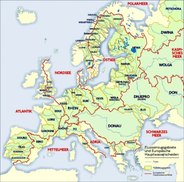
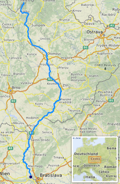
The Morava (German: March) is a river in Central Europe, a left tributary of the Danube. It is the main river of the historical region of Moravia in the Czech Republic, which derives its name from the river. The Morava originates on the Králický Sněžník mountain in the north-eastern corner of Pardubice Region, near the border between the Czech Republic and Poland, and follows a vaguely southward trajectory. The lower part of its course forms the border between the Czech Republic and Slovakia, and then between Austria and Slovakia.
- length
- 352 km (219 mi)
- countries
- Czech Republic, Slovakia, Austria
- tributary_of
- Danube
Lore & Background
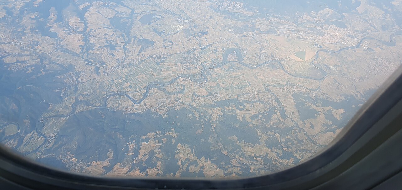
The Morava's name derives from the Proto-Indo-European root *mor-* meaning 'water' or 'marsh', combined with the Slavic suffix *-ava* from the Proto-Germanic *ahwa* for 'water' or 'river'. The German name March was derived from the Slavic name. The banks of the Morava have been inhabited for a very long time. The village of Stillfried, on the Austrian part of the river, was the location of a human settlement 30,000 years ago. Agriculture began in the Morava valley approximately 7,000 years ago, and fortified settlements appeared during the New Stone Age. The lower part of the river, downstream of the confluence with the Thaya at Hohenau an der March, is one of the oldest national boundaries still extant in continental Europe. It was the eastern boundary of the Carolingian Empire with the Avar Khaganate around 800, and from the 10th century onward marked the border of the Imperial marcha orientalis, later Duchy of Austria, with the Kingdom of Hungary. During the Cold War, this section was part of the Iron Curtain, forming the frontier between Austria and Czechoslovakia. The Morava originates in the territory of Dolní Morava in the Králický Sněžník Mountains. It flows through the Upper Morava Valley, Lower Morava Valley, the Morava Field (Marchfeld) in Lower Austria, and the Záhorie Lowland in Slovakia. Several larger cities lie on the river, including Olomouc, Kroměříž, Otrokovice, Uherské Hradiště, Veselí nad Moravou, and Hodonín. Brno lies within its basin. The river is a lowland river with a basin consisting of 51% plains; mountains make up only seven percent. The Morava is unusual in that it is a European blackwater river.
Reader's Guide
The Morava River holds significant historical and ecological importance. Historically, its lower course served as a persistent political boundary, first as the eastern limit of the Carolingian Empire around 800, then as the border of the Imperial marcha orientalis and later the Duchy of Austria with the Kingdom of Hungary. During the Cold War, this same stretch formed part of the Iron Curtain between Austria and Czechoslovakia, making it one of the oldest continuously used national borders in continental Europe. The river also gave its name to the entire historical region of Moravia, though the land's name is attested earlier than the river's. Ecologically, the Morava's weak slope across flat plains causes it to meander and flood, creating vast floodplains that are among the most biologically diverse ecosystems in Europe. The river forms an important link between the Danube Valley and the plains of northern Europe for both animals and humans. However, during the 20th century, large tracts of the river were regulated, leading to loss of inundation areas. The river also receives wastewater from the densely populated and industrialized basin, and agriculture contributes nitrogen and other nutrients. Despite these pressures, the central part of the river retains much of its natural character, and conscious conservation efforts have been made in later years.
Did You Know?
- The Morava is a European blackwater river.
- The lower part of the river is one of the oldest national boundaries still extant in continental Europe, dating back to around 800.
Etymology & the Naming of a Land
The Morava's name carries remarkably deep linguistic roots. Its core syllable, mor-, descends from a Proto-Indo-European term for water and marshland, the same ancestral word that eventually produced the Latin mare. The trailing suffix -ava is a Slavic reshaping of the Proto-Germanic ahwa, a general word for water or river. The name first surfaced in a written deed in 892, spelled Maraha. A curious chronological twist surrounds the river's relationship to the region it names: the historical land of Moravia takes its very identity from the waterway, yet the oldest surviving record of that land, dated to 822, actually precedes the first documented mention of the river itself. The German designation March was borrowed directly from the Slavic form. This layered etymology illustrates how a single watercourse can seed the identity of an entire cultural region across centuries of linguistic exchange.
A River of Borders Across a Millennium
The lower stretch of the Morava, running downstream from the point where the Thaya joins it at Hohenau an der March, holds a remarkable distinction as one of the oldest continuously maintained national frontiers in continental Europe. Around the year 800, it marked the eastern edge of the Carolingian Empire, facing the Avar Khaganate. Beginning in the 10th century, it delineated the boundary between the Imperial marcha orientalis, later the Duchy of Austria, and the Kingdom of Hungary, a line that endured through the Habsburg monarchy's territorial expansion from 1526 to 1918. During the Cold War, this very same waterway became a segment of the Iron Curtain, separating Austria from Czechoslovakia. In the present day it defines the border between Austria and Slovakia. A single river has thus traced the edges of empires, kingdoms, and modern states for well over a thousand years without losing its role as a political dividing line.
Floodplains, Biodiversity, and Ecological Pressure
The Morava's gentle gradient across broad plains makes it naturally prone to meandering and periodic flooding, and these recurring inundations have produced some of the most biologically rich ecosystems on the continent. Roughly 12,000 plant and animal species have been catalogued in its floodplain habitats, a level of diversity that ranks second in Europe behind only the Danube Delta. The river also functions as a vital ecological corridor, connecting the Danube Valley to the plains of northern Europe for both wildlife and, in earlier centuries, human movement. Unusually for a European waterway, the Morava is classified as a blackwater river. Yet 20th-century channel regulation, particularly downstream from Litovel, has diminished natural floodplain areas, and wastewater from the densely populated, heavily industrialized basin—along with agricultural nitrogen runoff—adds ongoing stress. Even so, the central reach retains much of its wild character, and recent decades have seen deliberate conservation programs aimed at safeguarding the basin's living heritage.
Course, Basin, and the Catastrophe of 1997
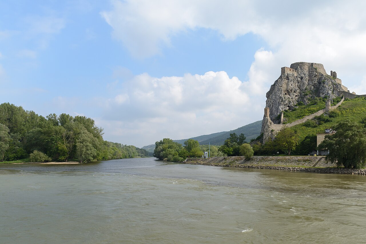
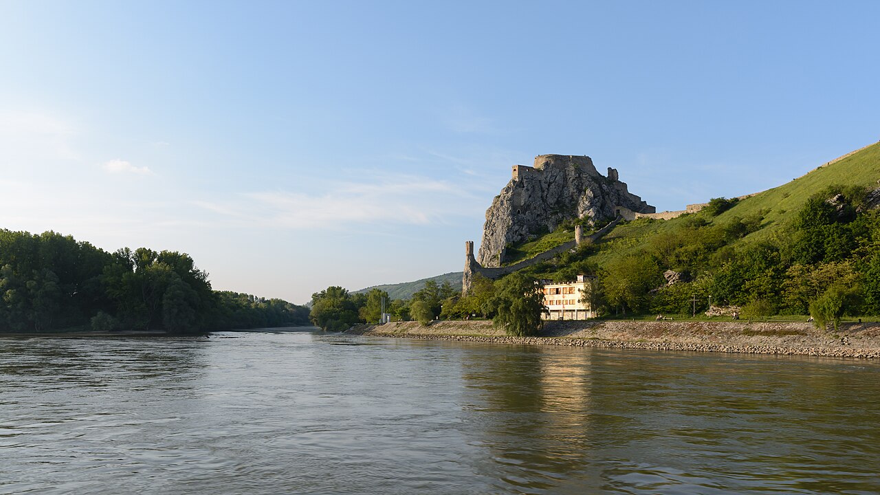
Springing at 1,371 meters on the flank of Králický Sněžník in the north-eastern corner of the Pardubice Region, close to the Polish frontier, the Morava follows a broadly southward trajectory across 352 kilometers before discharging into the Danube just below Devín Castle on the outskirts of Bratislava. Of that total, 269.4 kilometers lie within Czech territory, placing it as the country's third-longest river. Its drainage basin covers 26,658 square kilometers, composed of 51% plains, 35% highland, and a mere 7% mountains, with an average slope of just 1.8 per mille. The river delivers an average of 110 cubic meters of water per second into the Danube. Towns such as Olomouc, Kroměříž, Uherské Hradiště, and Hodonín line its banks, while Brno sits within the broader catchment that supported roughly 3.5 million residents as of 2009. In July 1997, several days of relentless stratiform rainfall over the northern and eastern basin unleashed catastrophic flooding that devastated communities along the river's course.
Gallery
Frequently Asked Questions
Who is Morava (river)?
The Morava is a 352-kilometer Central European river that threads through the Czech Republic, Slovakia, and Austria before feeding into the Danube as a left-bank tributary. It is the principal watercourse of the historical region of Moravia, which borrows its very name from this river.
How does Morava (river)'s story end?
After following a broadly southward path from its high-altitude source, the Morava ultimately discharges into the Danube as a left tributary. Its final stretch runs along the Austria-Slovakia border before it meets the Danube's current.
Why is Morava (river) important?
The river is the namesake of the entire Moravia region and anchors the Danube's tributary network in Central Europe. Because its course also serves as a border between three nations, it carries both geographic and historical weight.
More in Rivers Of Europe 1-19
Spotted an error? Know more?
This is a living reference — every entry is fact-audited, and reader corrections feed straight into our audit queue. Suggest an edit · See this site's audit record